Langdale Pikes from Grasmere
A challenging 20.6 km fell walk in the Central Lake District, taking in 10 Wainwrights including High Raise [Langdale] and Harrison Stickle and more. Starting from Grasmere, the route climbs 1072 m. Allow around 5h 54m by Naismith's Rule.
About the Central Lake District
The Central fells sit at the heart of the Lake District, offering some of the most iconic high-level ridge walking in England. This compact, rugged group rewards walkers with sweeping views in every direction and a real sense of being deep in the mountains.
What to Expect
At 20.6 km with 1072 m of ascent, this route is rated Challenging. This is a demanding route requiring good navigational skills, a strong level of fitness, and full mountain kit. Start early and monitor the weather closely.
The route takes in 10 Wainwrights, covering 20.6 km from Grasmere. Using Naismith's Rule, allow around 5h 54m of walking time, plus extra for rest stops, navigation, and photos. Fine-tune your estimate with the Naismith Calculator.
Planning Your Walk
Getting There
The walk starts at Grasmere. Check parking availability before you go as popular Lake District car parks fill quickly on weekends. The Lake District National Park Authority website has up-to-date car park information.
Navigation
Download the GPX file to your device before setting off. The map shows the route and Wainwright summit positions. In poor visibility, always use a physical OS map and compass. Do not rely solely on a phone GPS in mountain terrain.
Essential Kit
- Waterproof jacket and trousers
- Sturdy walking boots or trail shoes
- OS map 1:25,000 and compass
- At least 2 litres of water per person
- Food and emergency snacks
- First aid kit and charged mobile
Best Time of Year
Late spring through early autumn (May to October) gives the best conditions. Winter walking on the fells requires additional skills and daylight planning. Always check the Mountain Weather Information Service before heading out.
Get this fell as a print
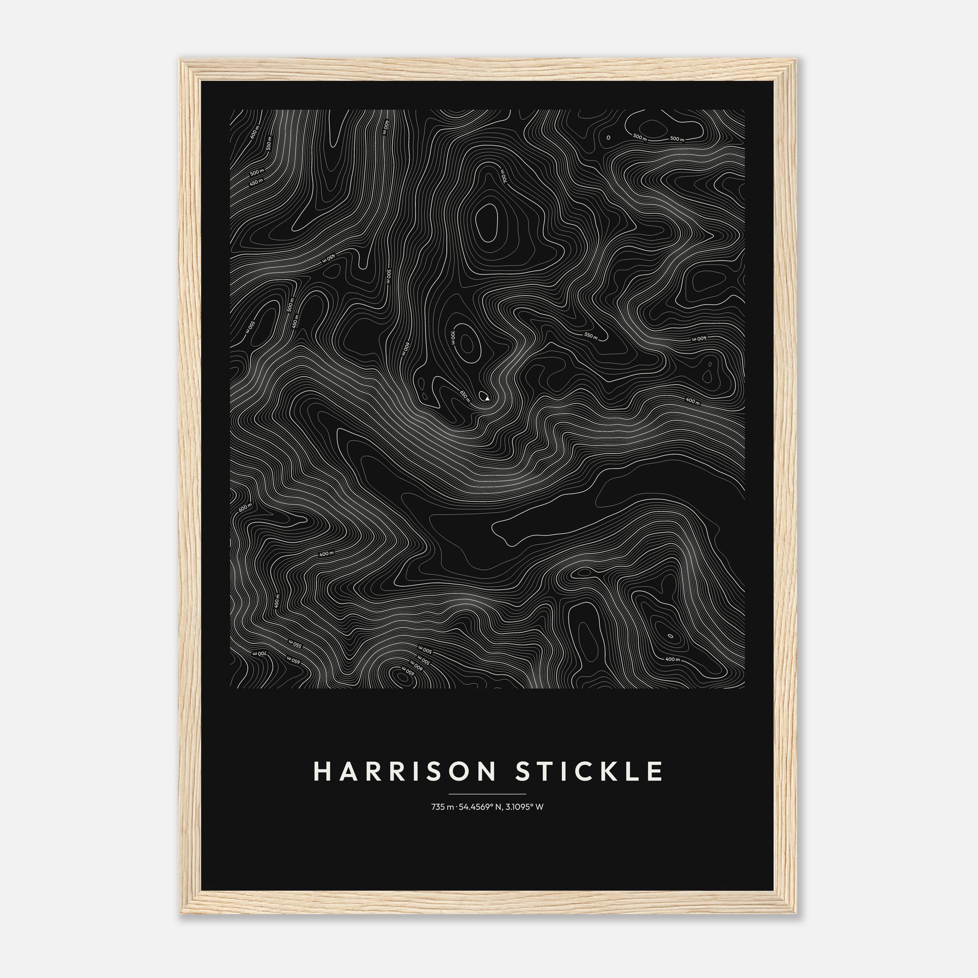
Climbed it? Take it home: the Harrison Stickle contour print, from £25
View the printGear I Used
A serious day on the high fells. Kit choice matters — I wouldn't leave any of this behind on a route like this.
On Your Back
On Your Feet
As an Amazon Associate I earn from qualifying purchases at no extra cost to you.